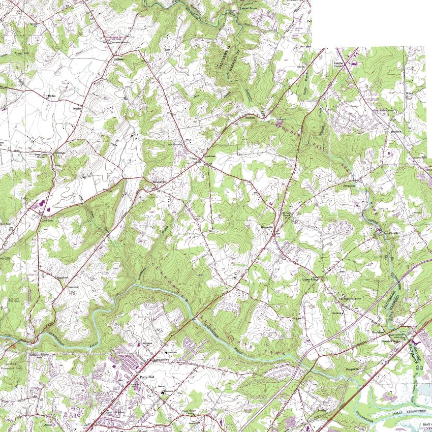
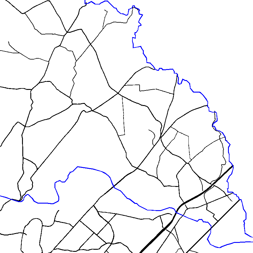
Current display layers:


Kingsville map resources
Click one button in each layer to show map..
Click on name to show key and more info.
Ctrl + and Ctrl - to zoom in and out (on most browsers.)

Layer 1 -
Background maps:

Topographic (current)
Topographic (1893)
Topographic (1904)
Topographic (1941)
Griffith 1794 map
Unknown map 1846?
Sydney 1850 map
Hopkins 1877 map
Zoning (2016)
Aerial photo (County)
Aerial photo
Property lines
Background off
Layer 2 -
Environmental/planning:
Parks
Watersheds
Urban areas
Rural legacy areas
Green infrastructure
Metropolitan District
Land management areas
Census designated places
Proposed land use 2010
Proposed land use 2020
Regional Planning Districts
Census tracts 2
Growth tiers
CZMP 2016 Issues
Geology
All off
Layer 3 -
Political districts, etc.

Council Districts (2019)
Legislative Dist. (2019)
Congess. Dist. (2019)
Census urbanized areas
"Affordable" housing areas
All off
Layer 4 -
Roads and streams:

Main roads
All roads
Streams
Roads & streams
Railroads
Scenic Roads & Views
Road class - 2009
Road class - 2016
Congestion - AM
Congestion - PM
All off
Layer 5 -
Boundaries and places:

Original land grants
Fire districts
Police precincts
School districts (ES)
URDL
Villages
Zip Codes
Historic & Landmarks
Voting precincts
Census tracts
All off